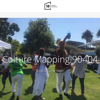
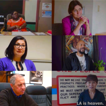
We partner with community-based groups and local government agencies to assist in the production of their own cultural asset map projects and the archiving of alternative oral histories in order to rectify ignorance and foster greater public awareness of overlooked peoples and places. Through the classes we teach, our students span out into the city, document narratives, and create new datasets and media content. We also partner with public school teachers to create curricula and to utilize our maps and partners’ maps to educate the next generation. We invite you to ake a look at some of the collaborations below.
We also create and participate in events and gatherings to promote public discussions for social change. Looking forward, our future goal is to collaborate with public schools by creating online, interactive curriculum. Maps educate us about the world. They can help us ask critical thinking questions such as who and what is not on our maps? Why? They can also be great ways to think about STEAM concepts such as how the creation of spatial facts change with aerial units, classification breaks, phenomenon and metric definitions, and visualization techniques. Be being online, we hope this may be a resource for many.


